I’m sorry for the delay in updating, but this is my trip to Provence the day before last.
The days without seeing any clouds at all continued on this day. The mornings are cold, but during the day, the temperature definitely exceeds 30 degrees Celsius.
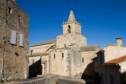
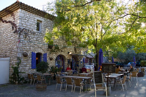
The first sightseeing of the day was a stopover at the beautiful village of Venasque, about 16 km north of Gordo, where we stayed.
I went for the mon ventoux.
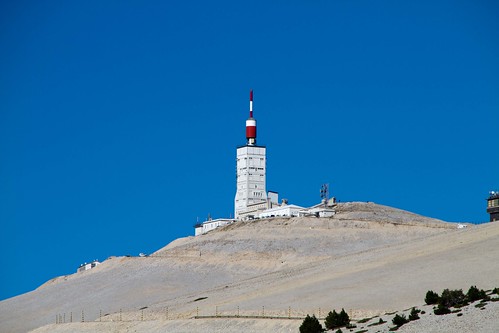
Mont Ventoux is a mountain that looks like this. (Abstract taken from Wikipedia)
As the name suggests, the summit is very windy, with gusts of over 45 m/s during the mistral season, and the road to the summit is often closed.
This mountain does not belong to the Alps or the Pyrenees, but is an independent peak standing in the west of the Luberon Mountains. Just at the western foot of the mountain, there is the Dantel de Montmirail in the hilly area. The summit has no trees, not even bushes, and the landscape is desolate with bare limestone rocks. This is the result of centuries of trees being cut down for shipbuilding. From a distance, these barren peaks give the impression of being covered in snow all year round. Its isolated form glaring down on the Rhone Valley intimidates the whole area and on a clear day it can be seen from miles away. The views from the summit are as spectacular as you would expect.
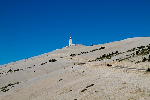
This mountain can actually be seen from all parts of Provence.
And this one, after all, is famous for this! Also from Wikipedia.
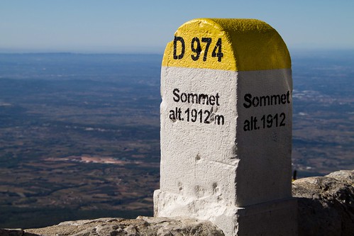
It has been used as a summit finish eight times and as a mid-stage pass six times since it first appeared on the Tour de France route in 1951. The 21.8km route from Bedouin, on the south side of the mountain, to the summit has an average gradient of 7.4% and an elevation gain of 1617m. However, the average slope for the 5.8 km from Bedouin to Saint-Estève is relatively gentle at 3.9%, while the average slope for the remaining 16 km is 8.9%.
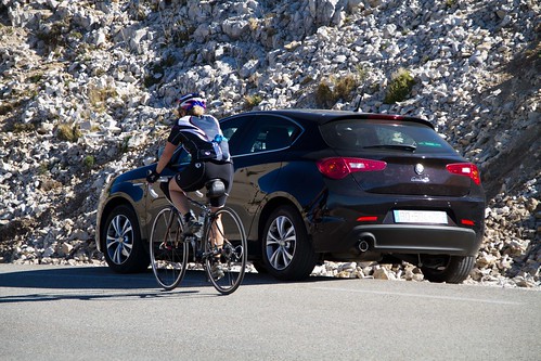
So I climbed up from Bedouin! It’s a car though…
Since we were in a car, it didn’t take long to get to the top of the mountain, but it was definitely a tough incline from the middle. However, the road was very well maintained for the bike race, so it was very easy to drive.
I saw a lot of people riding bicycles up this mountain, probably because it is famous for the Tour.
It was definitely windy at the top. But it was rather mild that day, so maybe it’s usually more windy.
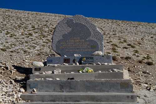
On the way back, I took a picture of the Simpson monument that I missed on the way there.
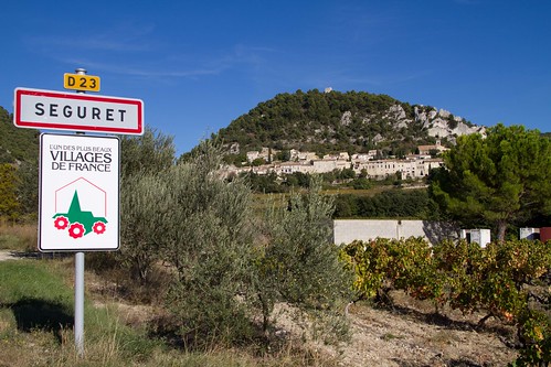
After conquering Mont Ventoux, we went to the beautiful villages to the east and west of this mountain.
First, on the east side is “Montbrun-les-Bains”.
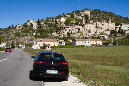
On the west side is the Séguret
We were able to clear Mont Ventoux sooner than expected, so we were able to visit one more beautiful village at the end of the day.
“La Garde-Adhémar.
It was just dusk when we came back to Gordo. We were able to see another beautiful Gordo.
ゴルド宿泊はこの日まで。翌日も引き続きプロヴァンスの美しい村をめぐって、マルセイユへ向かい車を返します。